
Key Design Features
Below is a map of the Crossroads project area and an overview of key design features.
Site Plan Overview
Project Capacity: Up to 94 MW
Total Fenced Area: 559 acres (max)
Inverter Type: Central
Racking Type: Single-Axis Tracker
Foundation: Driven (or Rotated) Pilings
Maximum Height: 15 feet
Minimum Setbacks from Non-Participating Residences
Solar Panels: 300 feet
Inverters: 500 feet
Minimum Setbacks from Public Roads
Solar Panels: 150 feet
Minimum Setbacks from Property Lines
Solar Panels: 50 feet (or higher depending on adjoining use)
Minimum Setbacks from Streams and Wetlands
Fence: 50 - 120 feet
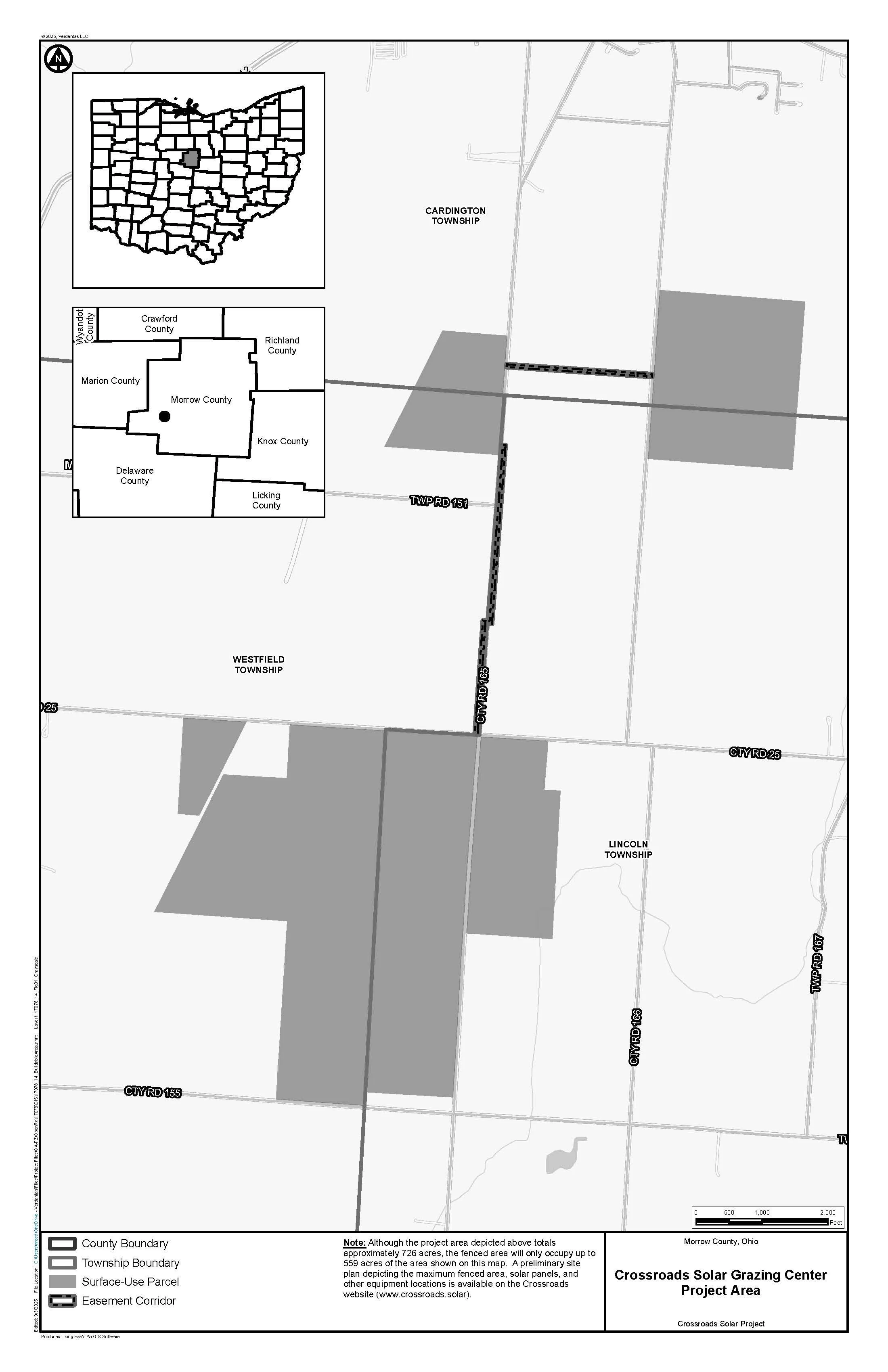
Please note that the map above shows parcels that are under lease to the Crossroads Solar Grazing Center. Not all of the area shaded in gray will host solar equipment. The shaded areas in the map above total approximately 726 acres, while the fenced area in which solar panels and other surface infrastructure will be located will encompass no more than 559 acres. Additional maps, including a Preliminary Maximum Site Plan, are included in the Crossroads OPSB permit application.